There is no better way to conduct your visual survey, animal population counts, soil drainage analysis, ROW inspections, pipeline and transmission line inspections, and geographical surveys in Oklahoma. GeoHeli helicopter surveying includes a variety of methods to gather data using aerial photography, remote-sensing via visible and invisible bands of electromagnetic energy, as well as geophysical information. Our experienced pilots have been providing highly detailed surveys to industry leaders, for years, ensuring that you're in the best of hands. GeoHeli in Oklahoma use many of the highest quality equipment like some examples shown in the images below.
LIDAR IMAGING:
Light Detection and Ranging, or LiDAR, is a remote sensing method used to examine and measure Oklahoma topography as well as objects, like vegetation, upon it.
INFRARED IMAGING:
Using thermographic IR cameras, we are used to detect radiation in the long-infrared range of the electromagnetic spectrum and produce images of that radiation, called thermograms.
HD VIDEO CAPTURE:
We use th most up-to-date HD and 4K cameras can be mounted to helicopters, using the proper STCs, with a gimbal to stabilize photos & videos for detailed results.

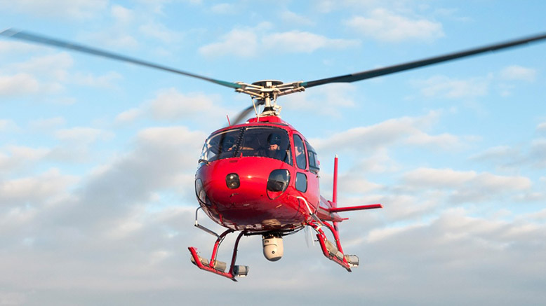
High Level Surveillance
There is no better way to conduct your visual survey, animal population counts, soil drainage analysis, ROW inspections, pipeline and transmission line inspections, and geographical surveys in Oklahoma. GeoHeli helicopter surveying includes a variety of methods to gather data using aerial photography, remote-sensing via visible and invisible bands of electromagnetic energy, as well as geophysical information. Our experienced pilots have been providing highly detailed surveys to industry leaders, for years, ensuring that you're in the best of hands. GeoHeli in Oklahoma use many of the highest quality equipment like some examples shown in the images below.
LIDAR IMAGING:
Light Detection and Ranging, or LiDAR, is a remote sensing method used to examine and measure Oklahoma topography as well as objects, like vegetation, upon it.
INFRARED IMAGING:
Using thermographic IR cameras, we are used to detect radiation in the long-infrared range of the electromagnetic spectrum and produce images of that radiation, called thermograms.
HD VIDEO CAPTURE:
We use th most up-to-date HD and 4K cameras can be mounted to helicopters, using the proper STCs, with a gimbal to stabilize photos & videos for detailed results.
Request a Quote